Not long ago, while traveling in northwestern New Mexico and looking for scenic alternatives to Interstate 40, I picked up an informational pamphlet extolling the virtues of New Mexico’s Scenic Route 53, also known as the Ancient Way – a traditional route between the Pueblos of Zuni and Acoma. Examining my map, I saw that this route passed many interesting locations, far more than I could take the time to explore on this particular trip. But I did manage to devote a few hours at one worthwhile destination – the Land of Fire and Ice.
The Fire
El Malpais National Monument is situated along Scenic Route 53. As a land feature, El Malpais – “the badlands”- is used locally to refer to lava flows. Within El Malpais National Monument are many volcano craters, onetime sources of the area’s lava flows. One such crater, Bandera Volcano, lies on the Continental Divide, and hiking to the site is an easy mornings stroll through the clean mountain air.
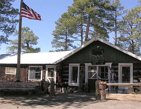
The trail to Bandera Volcano begins near the parking lot of this old trading post, built in the 1930’s, when the Zuni Mountain Railroad was operational and logging operations were underway in the area. Today, the trading post sells jewelry, pottery and artwork of the local tribes.
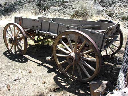
Scattered around the grounds of the old trading post are various outbuildings, visitor facilities, and relics, such as this old wagon seen at the trail head.
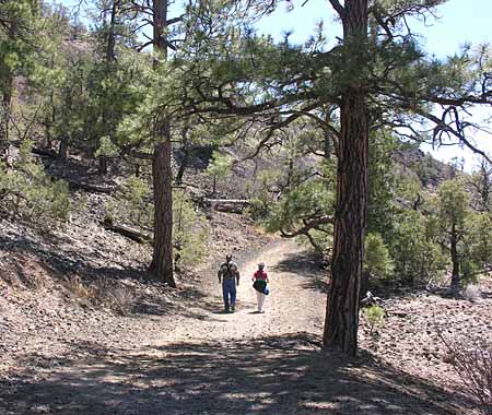
Soon, the trail leads up the side of the crater, passing beneath the limbs of ancient trees, which include Ponderosa and Piñon Pines, Douglas Fir, and Alligator Juniper.
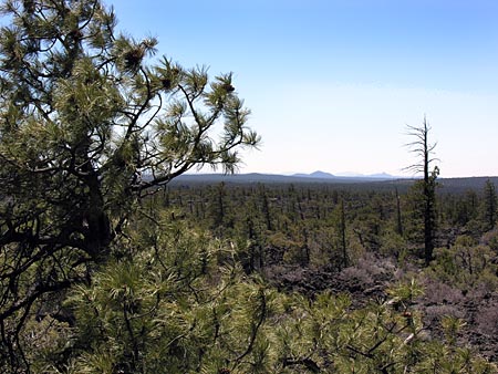
There are many spots along the trail to Bandera Crater where the vista overlooks much of El Malpais, the Cibola National Forest, and the Chain of Craters Backcountry Byway, as exemplified in the photograph above.
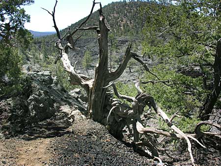
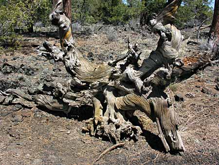
Because of the hard, rocky terrain, trees cannot establish a deep root system. This results in trees that mature to be twisted and gnarled. Trees such as this can be seen in many places along the trail.
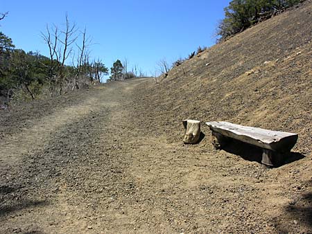
The trail eventually passes a rest stop, where the breeze blows cool, and the scenery is delightful to view as one relaxes for a momentary breather.
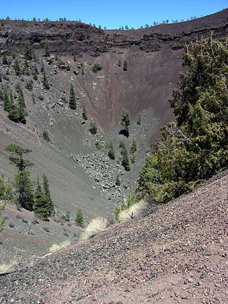
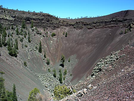
Continuing along the path, the trail rounds a bend, and you are suddenly presented with your first glimpse of the Bandera Volcano crater.
Further along, the trail ends at a viewing overlook, where the cinder cone crater can be seen in it’s entirety.
The Ice
From the old trading post, another trails heads off in the opposite direction from the Bandera Volcano. This one leads to a feature called the Ice Cave.Â
The trail to the Ice Cave passes several more examples of the twisted, gnarly root systems exhibited by the local trees, as seen in the photograph above.Â
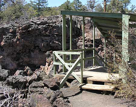
After a short stroll, the trail leads to the entrance to the Ice Cave. And what is this Ice Cave? It is part of an old lava tube that was formed in the eruptive stage of the nearby volcanic crater. As the surface lava cools and crusts over, the lava beneath continues to flow. This creates a pipeline known as a lava tube. The Bandera lava tube is considered to be the longest lava tube in North America, at 17.5 miles in length.
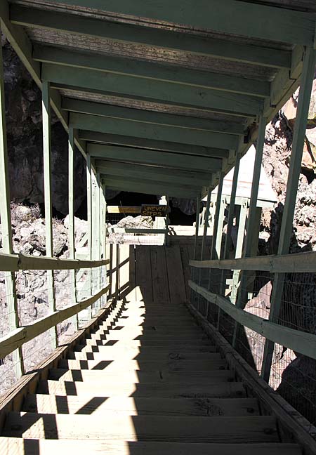
The entrance to the Ice Cave begins by descending steeply into the cave via this initial set of covered stairs.
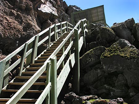
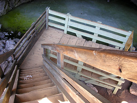
Once you reach the bottom of the initial set of stairs, you still have to negotiate the second flight of stairs. This second flight is uncovered, as you can see above.
Finally, you can descend to the viewing platform located at the bottom of this third set of stairs, in order to view the ice at the bottom of the cave from a close distance.
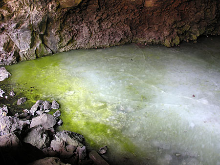
This is what the ice at the bottom of the Ice Cave looks like. It is a sheet of ice 20 feet thick. The temperature of this cave never rises above 31 degrees Fahrenheit. Rain water and snow melt seep into the cave, adding to the ice each year.  The deepest (and oldest) ice in the sheet dates back 3400 years.
The Ice Cave can be considered a perfect natural icebox – 20 feet of ice contained in a well insulated cave shaped to trap frigid air.
Hmmm…… I wonder if I could build something like this back at the ranch?Â



It would be a long ways to walk from the “icebox” to the “oven”!
An amazing visit you took us on. I would think that after all of this time, the caldera would be filled with the rocks eroding from the hillsides above it, but I suppose it doesn’t get as much rain as I am accustomed to here.
thanks for bringing me along on your trip. wondrous.
We love this place we are from az. in aug. we are going back to hike the volcanic tubes and see chaco canyon. I love N,M.